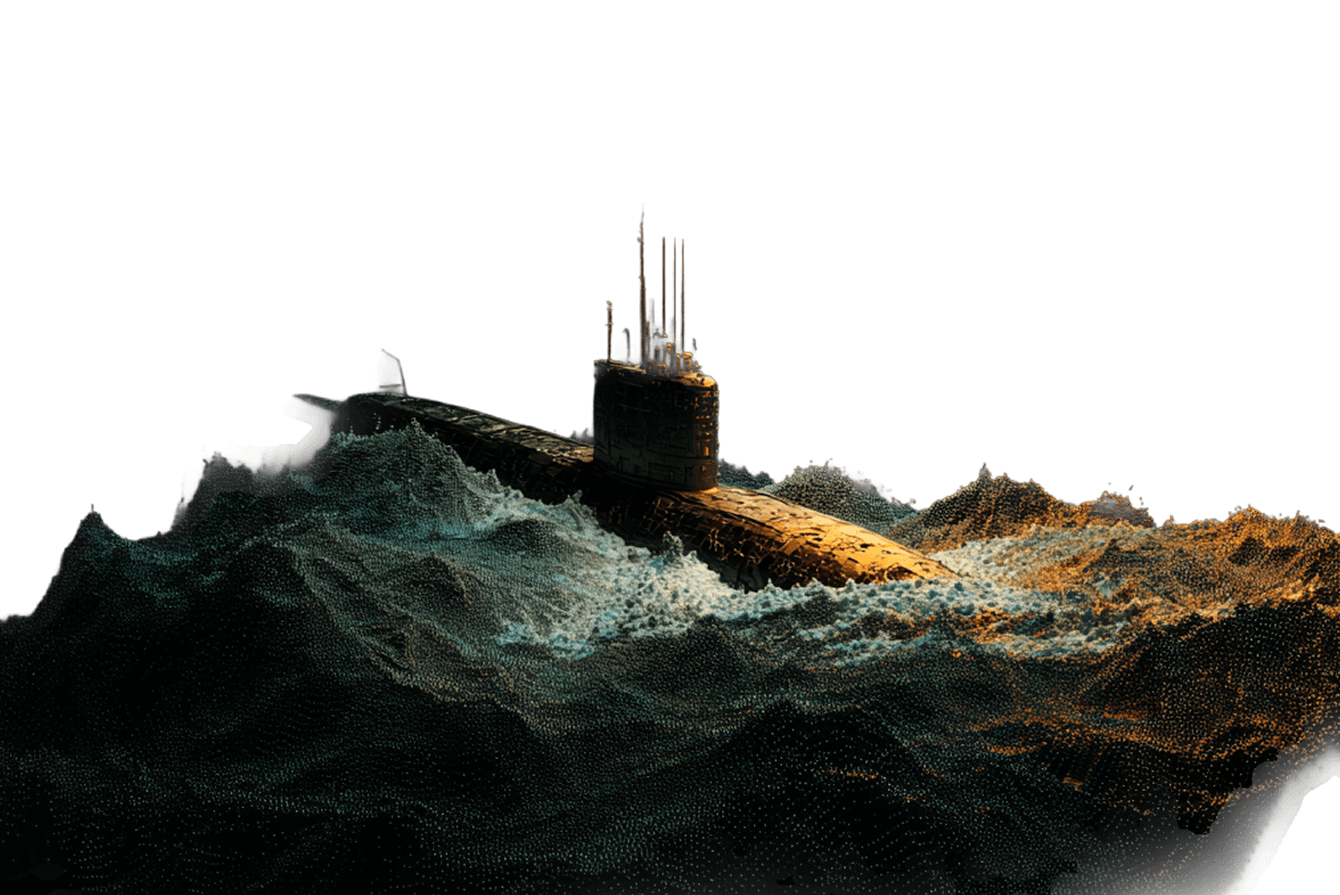
Autonomy failed.

We fixed it.

THE FAILURE

The Real World Doesn’t Care
About Your Autonomy Software.

Drones reverting to wired control. Satellites flying blind.
Autonomous systems failing at the exact moment they’re needed most.

This isn’t an edge case. It’s the defining failure of modern autonomy,
and it’s happening right now in every contested environment on earth.

A quadcopter drone with a camera attached underneath hovers with its propellers extended.

JAMMING HAS WON.

GPS jamming has rendered most autonomous systems inoperable. Operators in Ukraine have reverted to fiber-optic tethered control.

A modern fighter jet with swept wings and twin tail fins flies upward at an angle.

Current systems can’t answer “Where am I?”

Autonomous systems can’t determine location without GPS. They are built on a broken foundation.

A large, modern submarine with a prominent conning tower and antennas is depicted against a white background.

COMPUTER VISION FAILS.

CV fails in dust, clouds, open water, snow, dense forest, and high altitude. Real terrain causes real blindness.

The Solution

Gravity. You can’t fake it, blind it or jam it.
So we built our platform around it.

A fighter jet flies low over dense, sunlit jungle with tall palm trees against a black background.

Our PhantomNAV platform solves the question every other autonomy system skipped — Where am I? — using gravity and inertial sensors already onboard your platform.

No GPS? No Problem.

Precise state estimation in jammed,
denied, and degraded environments.

Zero New Hardware.

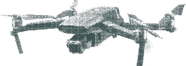
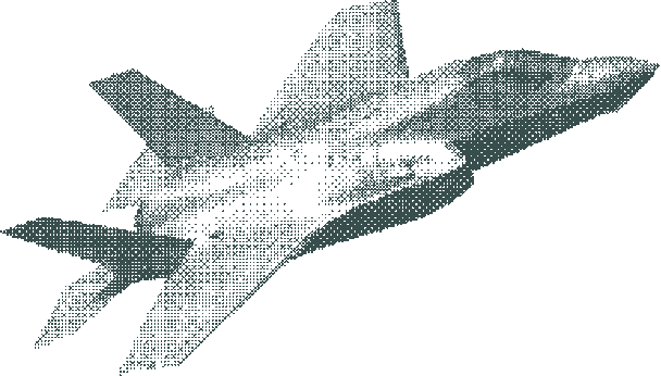
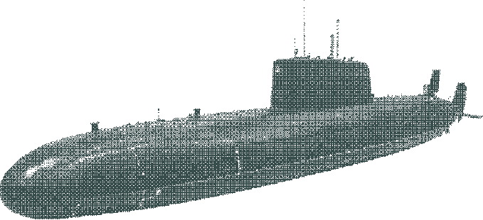
Runs on sensors already embedded 
in your platform. Drone, aircraft, ship,
satellite — any system, any domain.

Gravity Can’t be Spoofed.

GPS and computer vision fail in the real
world, so we use gravity. It’s everywhere, predictable, and unjammable.

The Platform Doesn’t Matter. The Mission Does.

Works on manned and unmanned platforms: Drones, USVs, Submarines, Satellites, F-16s, Ships, Apaches.

Real world. Real results.

DON’T TAKE OUR WORD
FOR IT. WATCH IT WORK.

Watch PhantomNAV perform state estimation in GPS-denied conditions
on real platforms in real environments.

Head-to-head performance comparison: PhantomNAV
vs. GPS-denied alternatives across multiple platform types.

A submarine navigates through stylized, digital waves with dramatic lighting against a black background.

integrations

Built on Palantir Foundry

PhantomNAV integrates natively with Palantir’s AIP,  
the same infrastructure trusted across the US defense enterprise.

What We Do

Victus builds contested autonomy software that works where GPS doesn’t, on any platform, 
from the seafloor to low Earth orbit.

Who we’ve worked with

Gray geometric "D" logo next to the words "Defense Innovation Unit" on a black background.
A white NATO compass emblem appears next to the word "NATO" on a black background.
A white Palantir logo with a circular icon and the word "Palantir" in bold letters on a black background.
A stylized raspberry with green leaves appears next to the black text "Victus Raspberry Logo."
A stylized triangular icon appears to the left of the bold, uppercase word "ANDURIL" in black text.
CubePilot logo with a hexagonal icon featuring a cube and a drone propeller next to the word "CubePilot" in bold text.
A bold black "V" overlays a circular target with concentric rings and a small dot in the center.
Victus-Hopflyt logo with bold black text and a stylized silver wave design in the center.
Bold black text spells "Victus" above "NRK" in a modern, sans-serif font on a transparent background.
A stylized black crow with outstretched wings perches above the bold word "VICTUS" in uppercase letters.
A bold, stylized letter "V" logo with sharp angles and a symmetrical, geometric design in solid black.
Get Started

Your platform works in ideal conditions.

PhantomNAV makes it work in all of them.

Built for the conditions that break everything else.