Autonomy Failed. We Fixed It. Victus builds contested autonomy software that works where GPS doesn’t, on any platform, from the seafloor to low Earth orbit.
getvictus.ai
info@getvictus.ai
© 2026 victus technologies
All rights reserved
The modern operational environment includes contested electromagnetic conditions where GPS/GNSS signals are degraded, jammed, spoofed, or unavailable.
Traditional solutions rely on additional hardware: tactical-grade inertial systems, RF-hardened antennas, and proprietary navigation boxes. This increases weight, integration complexity, and sustainment burden.
PhantomNAV operates on commercially available edge compute, requires only onboard inertial data, and integrates seamlessly with existing flight controllers and ATAK infrastructure. The system is modular, hardware-agnostic, and aligned with Modular Open Systems Approach (MOSA) principles.

PhantomNAV achieved 1.76 meters CEP50 under sustained GPS denial, 40 millisecond GNSS degradation detection, 77 millisecond seamless transition to Synthetic GPS, and 48.71 hours of continuous runtime with zero faults. During contested operations, ATAK position reporting remains uninterrupted at 1 Hz without operator intervention.

PhantomNAV delivers assured navigation continuity in contested environments while reducing size, weight, power, cost (SWaP-C) and integration complexity. PhantomNAV enables denied-navigation capability to be deployed as software rather than hardware procurement.

When GPS jamming takes your UAS offline mid-mission, PhantomNAV keeps it on-course using onboard inertial and gravity sensors. Your drone completes the mission, GPS jammed or not.
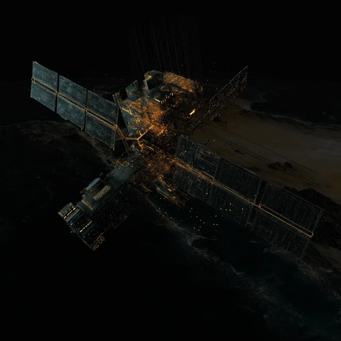
GPS does not exist on the Moon or Mars. PhantomNAV was built from inception for environments where satellite positioning is unavailable, making it directly transferable to space exploration and orbital platforms.
Open ocean operations – with GPS anomalies, electronic warfare, and no terrain reference – demand state estimation that works without external signals. PhantomNAV gives your vessel a reliable position fix regardless of surface conditions.
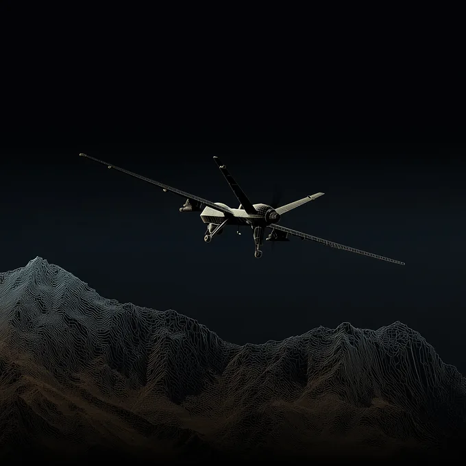
Solar flares, cloud cover, and electronic jamming degrade GPS-dependent navigation for both manned and unmanned aircraft. PhantomNAV provides continuous state estimation so your aircraft stays on-mission through degraded conditions.
Dust, urban canyons, and electronic denial environments break GPS-based navigation for ground platforms. PhantomNAV solves the position problem at the foundation, so higher-order autonomy functions can operate as intended.
Victus is actively supporting NATO contract work. PhantomNAV is designed for rapid integration onto allied platforms, with benchmarking data available to support procurement and capability assessment.
How it works
We evaluate your platform and map PhantomNAV to your specific mission profile and denial scenarios. You leave with a clear integration roadmap and a no-hardware-required deployment plan.
PhantomNAV uses the inertial and gravity sensors already on your platform, no new hardware required. We configure the machine learning model to your platform’s specific motion profile and operating environment.
Your platform goes operational with PhantomNAV active from orbit to seabed. Victus engineering remains accessible through fielding for mission-critical integration questions and ongoing support.

PhantomNAV uses onboard inertial and gravity sensors to solve position awareness so that your platform stays on-mission even when GPS is fully jammed or denied.
PhantomNAV runs on the sensors already installed on your platform so that you can deploy contested autonomy capability without procurement delays or hardware modifications.
PhantomNAV’s machine learning model continuously refines state estimation from raw sensor data so that position accuracy holds through dust, cloud cover, water crossings, and active electronic warfare.
PhantomNAV integrates across drones, aircraft, ships, satellites, and ground systems so that your entire fleet operates in contested environments, not just the platforms you built around GPS availability.
Find out how PhantomNAV will keep your next mission rolling.