Autonomy Failed. We Fixed It. Victus builds contested autonomy software that works where GPS doesn’t, on any platform, from the seafloor to low Earth orbit.
getvictus.ai
info@getvictus.ai
© 2026 victus technologies
All rights reserved
When your autonomous systems go offline, the cost compounds fast, grounded fleets, missed deliveries, delayed inspections, and liability exposure don’t wait for signal to return.
Commercial autonomy has not delivered on its promise at scale because GPS-dependent systems fail the moment conditions get real. Haze disrupts drone delivery accuracy, urban canyon interference grounds inspection fleets. The technology exists, but the position awareness foundation was never solved.

A single GPS disruption does not just affect one vehicle, it cascades across your entire autonomous fleet, triggering safety fallbacks, manual overrides, and operational halts. For commercial operators running on tight margins and delivery windows, that cascading failure is a direct revenue event.

Commercial aviation companies are actively seeking autonomy solutions because GPS reliability is no longer a guaranteed operational baseline. The enterprises that solve position awareness first will be the ones that scale autonomous operations reliably and the ones that don’t will keep paying for manual fallbacks.

GPS dead zones don’t stop for delivery schedules. PhantomNAV keeps autonomous trucks on route through tunnels, urban canyons, and signal-degraded corridors.
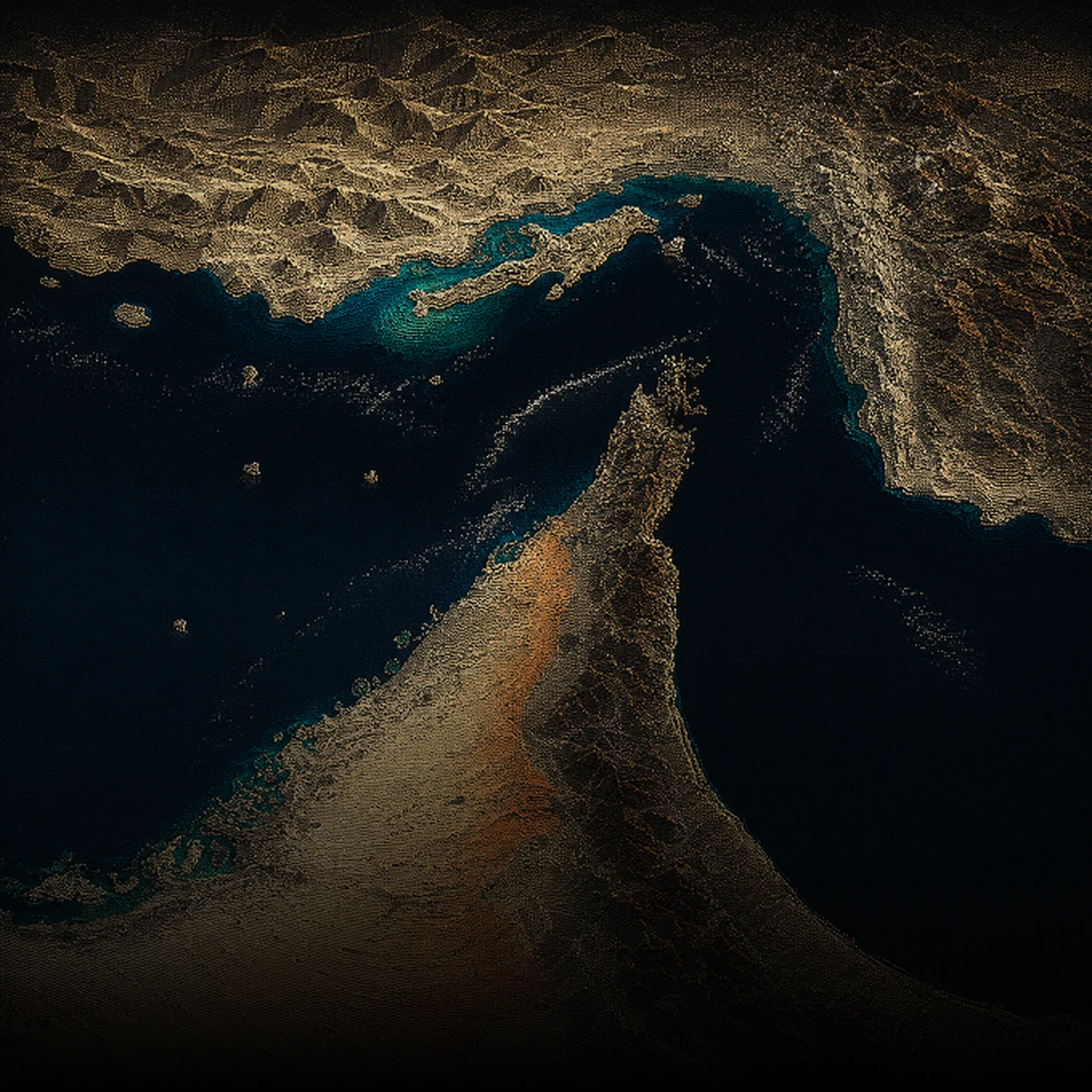
Open ocean has no terrain reference. GPS anomalies happen. PhantomNAV holds accurate positioning from port to port using onboard sensors alone.
GPS doesn’t penetrate water. PhantomNAV gives AUVs position awareness without surface signal dependency.
Urban surveillance means GPS interference and jamming. PhantomNAV maintains position accuracy so your security drones stay on mission.
Safety-critical rail operations can’t rely on GPS signal availability. PhantomNAV delivers precise positioning independent of satellite coverage
Remote farmland means poor GPS coverage. PhantomNAV enables precision agriculture operations regardless of signal quality.
How it works
We evaluate your platform — drone, aircraft, vessel, or ground system — and map PhantomNAV to your specific operational environment and failure scenarios.
PhantomNAV uses the inertial and gravity sensors already on your platform so that configuration requires no new hardware procurement. We calibrate the machine learning model to your platform’s specific motion profile and operating conditions.
Your platform goes operational with PhantomNAV active across your fleet. Victus engineering remains accessible through deployment for integration questions and ongoing operational support

PhantomNAV uses inertial and gravity sensors to maintain platform position awareness during GPS outages, signal interference, and degraded environments, ensuring continued operation without manual control.
PhantomNAV uses your platform’s existing sensors, enabling contested autonomy without new hardware costs or procurement delays.
PhantomNAV’s machine learning model constantly refines state estimation from raw sensor data, ensuring accurate positioning despite haze, urban interference, open ocean crossings, and signal anomalies.
PhantomNAV integrates across drones, aircraft, vessels, and ground systems so that your entire commercial fleet gains operational continuity.